Environmental Data Workshop at Haskell Indian Nations University Utilizes CyVerse's Cloud Automation
Workshop fosters learning opportunities around environmental data science.
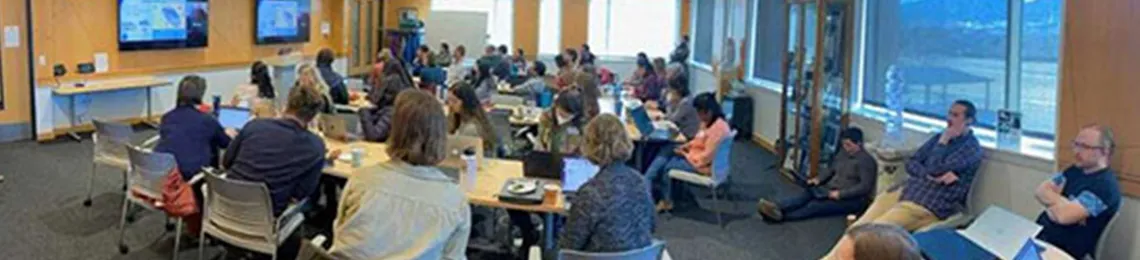
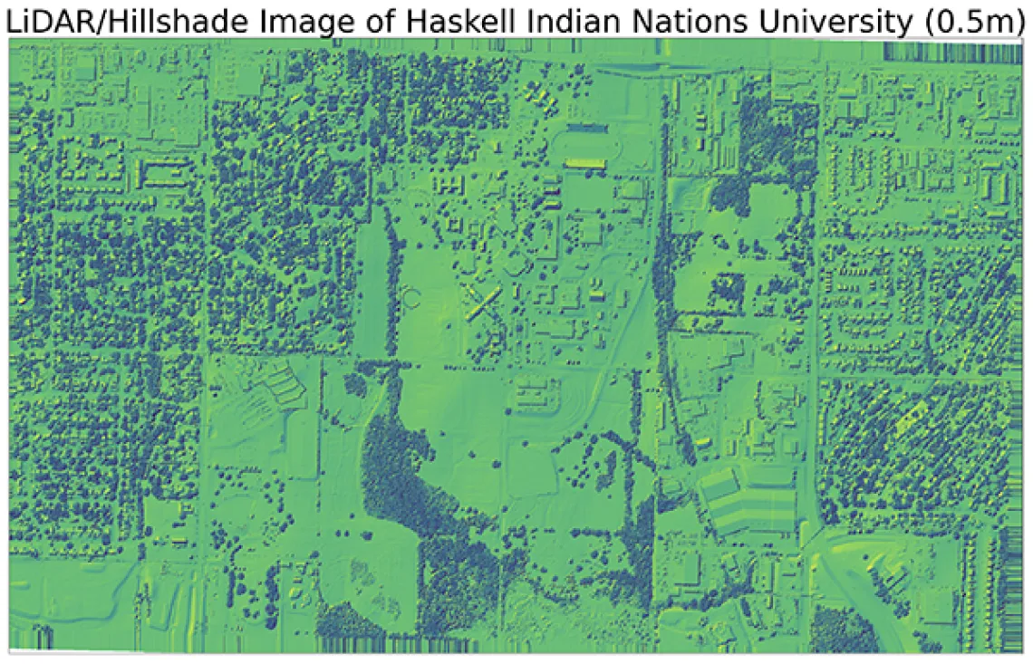
In November 2022, a two-day environmental data workshop took place at Haskell Indian Nations University in Lawrence, Kansas that gave data scientists exposure to accessing climate and geospatial data and hands-on experience with LiDAR, a remote sensing method that uses light to measure distances to the Earth. The event was a collaboration between Earth Lab of the University of Colorado Boulder, the American Indian Higher Education Consortium (AIHEC), Rising Voices, the Environmental Data Science Innovation and Inclusion Lab (ESIIL), the National Ecological Obervatory Network (NEON), the Ecological Forecasting Initiative, and The Carpentries.
The workshop relied on CyVerse's CACAO (Cloud Automation & Continuous Analysis Orchestration) running on Indiana University's Jetstream2 to provide the JupyterHub from which workshop leaders taught applications of LiDAR in Python and R materials. Tyson L. Swetnam, Research Assistant Professor of Geoinformatics at the University of Arizona and Co-PI of CyVerse said, "This was the first time ESIIL staff managed a Jetstream2 deployment for a workshop. They were successfully able to run a large JupyterHub cluster with a specialized software environment for geospatial applications with very little effort, thanks to CACAO's templates. This was a great outcome for us and the participants, which we hope to repeat many more times over the next five years of ESIIL."
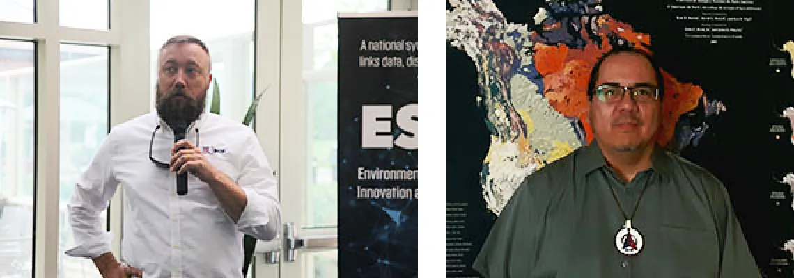
Left to right: Tyson L. Swetnam, Co-PI at CyVerse and Jim Sanovia, ESIIL Tribal Resilience Data Scientist (Credit: ESIIL)
Hands-on training sessions around plotting and retrieving LiDAR imagery and accessing geospatial and local climate data were led by Earth Lab and ESIIL team members Nathan Quarderer, Jim Sanovia, and Ty Tuff. Jim Sanovia, an enrolled tribal member of the Rosebud Sioux Tribe and an ESIIL Tribal Resilience Data Scientist, gave a presentation on his experience working with Earth Lab's Earth Data Science Corps (EDSC) with his students during his time as a faculty member at Oglala Lakota College. Sanovia stresses the inclusion of Earth data science, to include data sovereignty and management, as a vital component for working with Tribal entities.
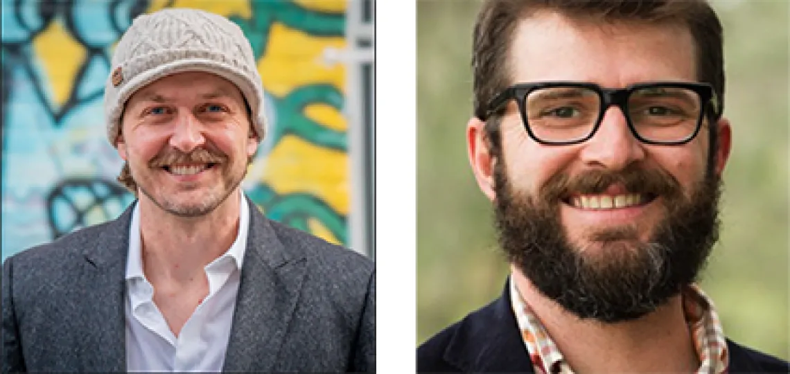
Left to right: Ty Tuff, Data Scientist with ESIIL and Earth Lab, and Nate Quarderer, ESIIL Education Director (Credit: ESIIL)
Ty Tuff, a Data Scientist with Earth Lab, conducted a "Climate Futures Toolbox (CFT) with R" workshop. The Climate Futures Toolbox is an open-source climate software package created by Earth Lab. Participants learned how to create a basemap of the area around Haskell by accessing cloud-based geospatial data from the OpenStreetMap API. Tuff also used a local application of the CFT to illustrate future climate trends around the area. A demonstration of the climate scenario can be viewed here in GitHub.
The event also included discussions on resources for climate resilience, strategy sessions to determine opportunities for continued faculty training, and work involving the Indigenous People's Climate Change Working Group (IPCCWG).
ESIIL will also be hosting its first Innovation Summit in May 2023. For information on how to participate in other ESIIL activities, please contact esiil@colorado.edu.